Looking For Freshwater In All the Snowy Places
Published on by Water Network Research, Official research team of The Water Network in Technology
Snowflakes that cover mountains or linger under tree canopies are a vital freshwater resource for over a billion people around the world. To help determine how much freshwater is stored in snow, a team of NASA-funded researchers is creating a computer-based tool that simulates the best way to detect snow and measure its water content from space.
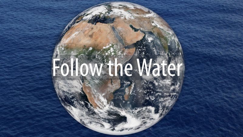
Follow the Freshwater: By predicting droughts and floods and tracking blooms of algae, NASA’s view of freshwater around the globe helps people manage their water. Credits: NASA/ Katy Mersmann
Snow’s water content, or snow water equivalent (SWE) is a “holy grail for many hydrologists,” said Bart Forman, the project’s principal investigator and a professor with the University of Maryland, College Park. When snow melts, the ensuing puddle of water is its SWE.
In western U.S. states, snow is the main source of drinking water and water from snow is a major contributor to hydroelectric power generation and agriculture.
Some changes in snowfall patterns are indicators of climate change. For instance, warmer temperatures cause water to fall as rain instead of snow. As a result, some mountains are not able to hold water in the form of snowpack like they used to, which means rain inundates rivers and floods are more intense. When flood season is over, droughts can be more severe.
Forman’s new approach follows efforts by NASA to study SWE from satellites, airplanes and the field. The Moderate-resolution Imaging Spectroradiometer (MODIS) is an instrument aboard two satellites that captures daily images of Earth. MODIS can identify snow-covered land and ice on lakes and large rivers. The Global Precipitation Measurement mission (GPM), an international constellation of satellites, can observe rain and falling snow over the entire globe every two to three hours.
In addition to space-based observations, NASA runs a campaign closer to home called SnowEX. The campaign is a five-year program that includes airborne observations and then field work to reveal what satellite efforts do not. SnowEX allows researchers to examine complex terrains that can be difficult to characterize from space. Next winter’s campaign will collaborate with the Airborne Snow Observatory, which measures snow depth and snow characteristics.
The importance of snow and its water
“We would love to have a global map of SWE,” said Edward Kim, a research scientist at NASA’s Goddard Space Flight Center in Greenbelt, Maryland. However, there is no single technique that can measure SWE globally because snow properties vary depending on where it lands, Kim said. It often forms a deeper layer in forests, where it is sheltered from the Sun, but keeps a shallower profile in the tundra and prairie, where it is exposed to wind and higher temperatures.
Snow changes its shape as it falls to the surface and then continues to change in its resting place. Its shape can determine which sensor is able to observe it, Kim said, adding another complexity to estimated SWE.
Forman and his team’s new tool will determine the most effective combination of satellite-based sensors to produce the most data. “The tool will show us how to make intelligent choices about how to combine sensors,” Kim said.
Read the full story on NASA
Media
Taxonomy
- GIS
- Water Resources
- Freshwater
- Water Resource Management