NEWS NOTES ON SUSTAINABLE WATER RESOURCESLava Flows in Grand Canyonhttps://www.nps.gov/para/learn/nature/parashant-s-volcanic-fields-and-lava-da...
Published on by Tim Smith, Employee at Retiree & P/T Consultant
Lava Flows in Grand Canyon
https://www.nps.gov/para/learn/nature/parashant-s-volcanic-fields-and-lava-dams-in-the-grand-canyon.htm
Parashant is a wonderland of deeply cut canyons, plateaus, basins...and volcanoes! The Grand Canyon-Parashant landscape is dual story of Basin and Range stretching and Colorado Plateau uplift. On the west side of the monument Earth's crust has cracked and slumped to the west over the last 17 million years, thinning the crust significantly. This crustal extension doubled the surface distance from Parashant west to the Pacific Ocean.
This thinning in turn caused Earth's mantle to swell upward to replace the stretched crust due to isostacy. Not only did this swelling put hot mantle rock closer to the surface, it pushed the Colorado Plateau thousands of feet higher in elevation than it otherwise would be over the last six million years.
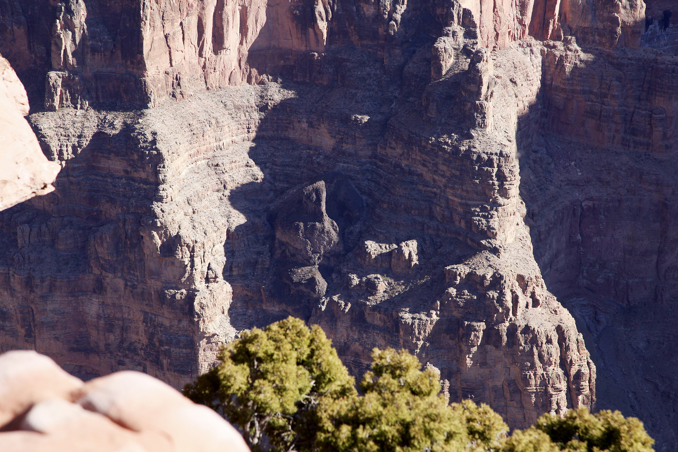
This set the stage for both erosion, including the cutting of the Grand Canyon, and the hundreds of volcanic eruptions mapped in the monument. At least 213 eruptions have occurred in Parashant's Uinkaret Volcanic Field. The most recent happened only about 950 years ago. Several nearby volcanic fields have also erupted in the last few thousand years. There will be more in the near future. This story is not unique to Parashant. In fact volcanism, Basin and Range stretching, and uplift of the Colorado Plateau is a story that spans four states from southern Utah to northern Arizona to northern New Mexico and western Colorado.
NOTE: More information on Sustainable Water Resources is available at https://sites.google.com/site/sustainablewaterresources/