SAP HANA and Esri Combine for Geospatial Database Platform
Published on by Water Network Research, Official research team of The Water Network in Technology
SAP and Esri are combining SAP HANA's in-memory database capabilities with Esri geospatial applications, and utilities are taking advantage to integrate geospatial and enterprise data.
SAP HANA has been integrated with Esri's geographic information systems (GIS) and spatial analytics applications for a few years. And now, Esri fully supports SAP HANA as an enterprise geospatial database, according to the companies.
by Jim O'Donnell

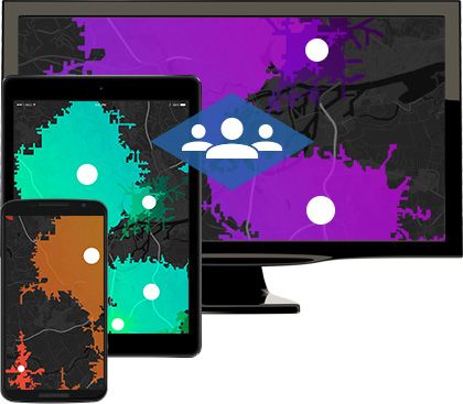
Image source: Esri
The Esri geospatial database can now take advantage of the underlying processing speed and power of the in-memory HANA database to better integrate enterprise system data with geospatial data and improve the performance and scalability of geospatial applications, according to Matthew Zenus, global vice president of database and data management and solution go-to-market efforts at SAP.
The combination of SAP and Esri brings location intelligence to enterprise data and applications, allowing businesses to develop applications that use spatial analytics and advanced visualizations and embed geospatial data into core business processes. "GIS and mapping, combined with the richness of business data and business processes, is a very powerful combination that can benefit every industry," Jack Dangermond, Esri's founder and president, said in a press release. "Together, SAP and Esri are making GIS, mapping, advanced visualizations and spatial analytics available to everyone across the enterprise."
Utilities take on SAP HANA-based Esri apps
Utilities are among those organizations that are taking advantage of Esri applications, like ArcGIS, on the SAP HANA database.
- The Omaha Metropolitan Utilities District, a political subdivision and public corporation that operates the drinking water and natural gas systems for Omaha, Neb., and surrounding areas, now deploys Esri's ArcGIS on SAP HANA to provide its field personnel with more timely and powerful analytics that simplify and digitalize its manual utility inspection system. According to the utility, it's deploying Esri ArcGIS directly on SAP HANA, which allows it to perform real-time analytics on business data without having to use manual data preparation and conversion processes. This reduces IT efforts, increases the timeliness and accuracy of analysis, and improves the effectiveness and efficiency of field operations.
- Fairfax Water, Virginia's largest water utility, which provides clean drinking water to nearly 2 million people, is also using an Esri enterprise geodatabase supported by HANA. This will allow the utility to geo-enable its organization to ensure customers receive the highest possible water quality, according to the company. Using the Esri geodatabase supported by SAP HANA simplifies Fairfax Water's IT landscape, increases processing performance, provides seamless integration between enterprise SAP data and Esri GIS data, and allows the entire organization to be geo-enabled.
Read full article: TechTarget
Media
Taxonomy
- Technology
- GIS & Remote Sensing Technology
- GIS
- Geospatial Information Systems
- GIS for network
- Water Utility
- Utility Management
- GIS Spatial Analysis
- Water Software
- GIS & Remote Sensing