Tempisque River Threatened - Costa Rica
Published on by Water Network Research, Official research team of The Water Network in Social
Terrible management of the Tempisque River and a serious lack of control over the concessions
Tempisque River — Costa Rica’s third longest — along with its tributaries and the underground aquifers that both feed it and take from it to replenish their stores, is in danger. The Tempisque watershed occupies 60 percent of the land in Guanacaste province and one-tenth of Costa Rican territory.
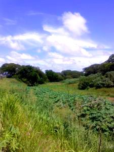 The nearly 145-kilometers-long Tempisque River starts in the Guanacaste mountain range between the Orosí and Rincón de la Vieja volcanoes and empties into the Gulf of Nicoya, feeding a large network of mangrove-lined, protected wetlands near its mouth. It is a river of extremes, capable of disastrous floods in the rainy season and withering droughts in summer.
But the river’s natural fluctuations have been amplified in recent decades by the humans and institutions that use it. A warming, drying climate threatens to accentuate those fluctuations even more, upsetting the delicate balance among thousands of water users — big and small — and threatening the region’s environmental health.
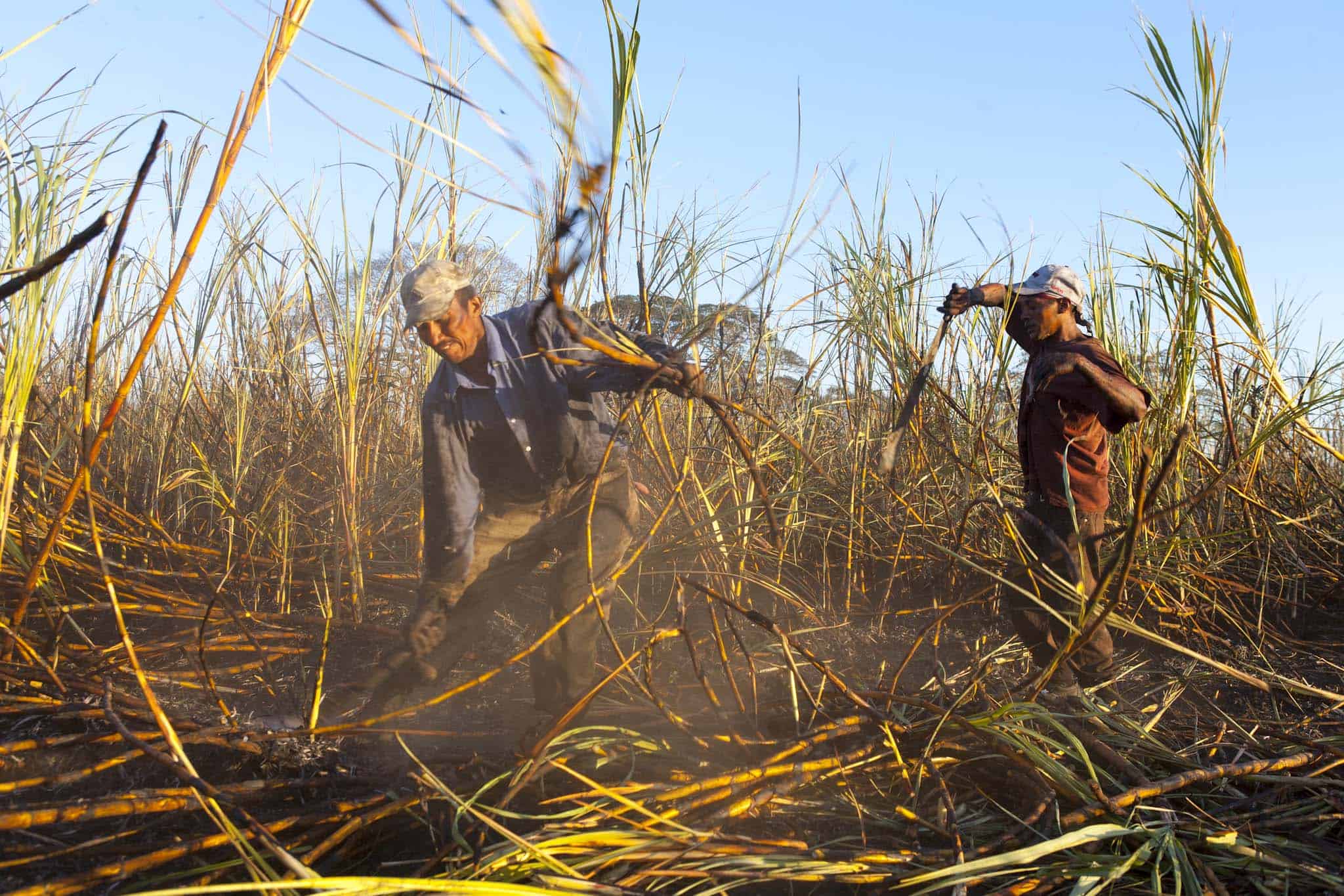
90 % of water concessions granted for the Tempisque are for agriculture.
We also examined academic studies, and interviewed experts and major players in the river’s use and management. What we found is:
- The data used to grant water concessions by the National Energy Service, the entity charged with that task until 1996, and later the Environment Ministry’s Water Department has been historically flawed.
- Most of the largest water concessions have never been evaluated in terms of their environmental impact because they predate the laws requiring evaluation. Those that have been evaluated have been done so in a cursory fashion, with no consideration of the effects on the Tempisque River as a whole and its flora and fauna.
- Not until 2003 did the Environment Ministry begin to take into account the need to leave some water in the river to support species and replenish aquifers. Prior to that, every drop was up for concession.
- The Environment Ministry’s Water Department has far too few resources to properly monitor water use in the Tempisque watershed — and across the country — and has only weak enforcement tools.
- Authorities and researchers have a poor understanding of how the Tempisque River works in conjunction with aquifers in the area, contributing to unreliable data upon which to regulate water use.
- Climate change threatens to substantially change the volume and timing of the Tempisque’s flow, but the combination of shaky data, lack of attention, poor institutional coordination and political pressure have impeded planning for the future.
 “What we’re seeing is terrible management of the Tempisque River, a serious lack of control over the concessions,” said Jorge Jiménez, who co-authored a 2005 study of the river that is widely cited by water officials. Jiménez is currently director of the conservation group MarViva.
The history of neglect and cursory management of the Tempisque River provides a cautionary tale as Costa Rica and the world prepare for a warmer, drier climate. By one estimate, calculated by two scientists from the Technology Institute of Costa Rica (TEC), by 2030, the Tempisque could have close to 17 percent less water during the critical irrigation months of February through April compared to the monthly averages measured between 1980 and 1985.
Source: The Tico Times
Media
Taxonomy
- River Studies
- River Restoration
- Water Management