Floods: Study Finds Natural and Man-made Causes
Published on by Water Network Research, Official research team of The Water Network in Academic
A study by an expert team of the National Centre for Earth Science Studies (NCESS) has found that the recent floods in south Kerala were the combined effects of natural and man-made processes.
According to D. Padmalal, senior scientist who led the team, heavy precipitation, release of ‘hungry water’ from dams or water that is generated in the sediment-starved river channels in high gradient terrains, riverbeds in the midlands and lowlands with deep pits, caused by indiscriminate sand-mining, had played their role in the deluge.
Density
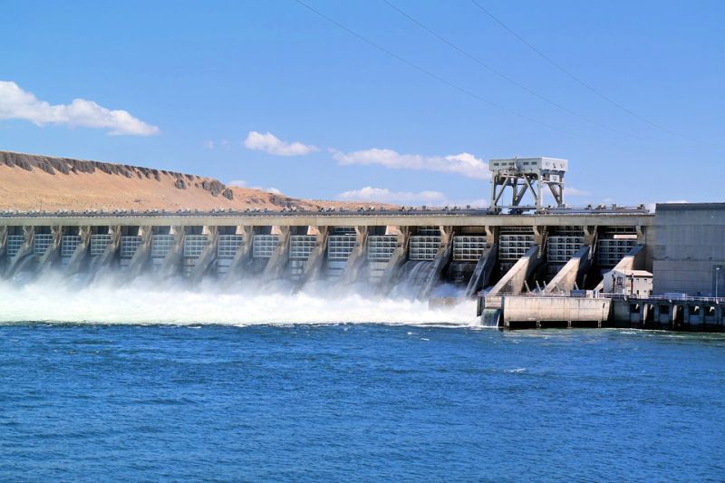
 The cumulative density of the hungry water released from dams, loaded with silt and clay (mud), would be double that of clear water. “The highly viscous muddy water had slackened the free movement of water. This, along with uprooted vegetal debris and unscientific constructions across river channels, might have created obstacles in the drainage channels. One cannot predict its movement as the water released from reservoir is sediment-starved and hungry water with a lot of energy,” says Dr. Padmalal.
K. Maya, K. Sreelesh, scientists; Arul Balaji, and Jithu Shaji, researchers attached to the Hydrological Processes Group at NCESS, were the other members of the expert team who visited the river basins of Ithikkara, Kallada, Achancoil and Pampa for collecting field- level data from the flood-hit areas.
Key observations
The water level had risen by 6 to 15 m with respect to the present river water level along various stretches during the floods. Dr. Padmalal said the scenario at Pampa was quite different. Huge accumulation of heterogenous-type bed materials containing a wide spectrum of particles such as sand, gravel, cobbles and boulders were seen, along with huge uprooted trees, at Pampa-Triveni in the foothills of Sabarimala.
“Our preliminary observations revealed that the volume of bed materials accumulated at Pampa-Triveni and nearby areas was around 40,000 cubic metres (sand, gravel, cobbles and boulders).
More than 75 % of this was construction grade sand and gravel. Accumulations of alluvial placer minerals, rich in ilmenite, were noticed in the present flow channel of the Kakki river,” Dr. Maya and Dr. Sreelesh said.
Hungry water, which was sediment-starved, had transported huge volumes of bed materials to the downstream, depositing them in front of various constructions in the river channel. Evidence showed that the water level had risen to over 12 m at this station, submerging many buildings, Dr. Padmalal said.
According to him, the silt and clay suspensions had been transported for long distances downstream.
Huge accumulations of silt and clay that clogged the riparian areas, river banks and also jetted into the interstitial spaces of the floodplain sub-soils can alter the geohydrologic settings of the area.
He said massive accumulations of silt and clay along the rive banks and riparian areas were noticed at Vadasserikkara, Ranni, etc. The upstream areas were with fine sand and silt whereas downstream areas were generally with more clay.
Reverse flow
Dr. Padmalal said the valleys of minor channels joining the master channels and contributing water to the main channel during non-flood periods were totally submerged in the floodwaters or exhibited a reverse flow, submerging the buildings.
At Ranni the flood level had risen to nearly 15 metres with disastrous intensity.
Source: The Hindu
Media
Taxonomy
- Flood management
- Flood prediction
- Flood Risk Management
- Flood Modeling
- Flood Mapping