3D Mapping of Chicago's Underground Maze of Utility Lines
Published on by Water Network Research, Official research team of The Water Network in Technology
Five-year project building a 3D blueprint database of all the utility lines under the city that works.

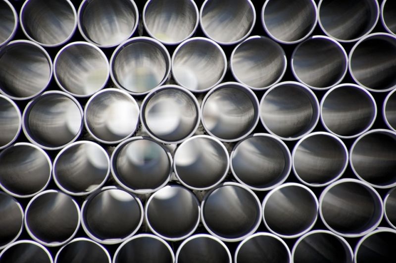
Water pipes, source: Pixabay
There's 180 years worth of underground utility lines beneath Chicago ranging from old wooden water pipes to new communications lines, but until now there hasn't been a reliable cumulative location map of what was built in 1837 or installed yesterday.
Working with HBK Engineering, image analysis startup Reconstruct, software maker Cityzenith, and U+I Labs, the city has begun what will likely be a five-year effort to map the underground pipeline network of sewer, water, electricity, gas, broadband and other services in its downtown area.
The result of their efforts will be a multi-dimensional database that will serve as the foundation for realtime mapping of all the services - long forgotten and the very new - that rest beneath Chicago.
Read full article and watch a video: Construction Equipment
Media
Taxonomy
- Urban Water
- Infrastructure
- Integrated Infrastructure
- Urban Water Infrastructure
- Infrastructure Management
- Utility Pipe Network
- Pipeline Rehabilitation
- 3D Modelling
- Pipes and Pipelines