Continuous Monitoring Deepens Understanding of Karst Aquifers
Published on by Marcus Miller, Digital Marketing Manager at In-Situ in Case Studies
Overview
The Karst Research Institute, part of the Scientific Research Centre of the Slovenian Academy of Sciences and Arts, uses a variety of In-Situ equipment to continuously monitor several caves within the country’s vast, complex network of karst aquifers.
Challenge
Karst aquifers form when rainwater or groundwater seeps into fissures in soluble rock and begins to dissolve the carbonate minerals within it. Gradually, channels and conduits form, allowing water to flow from the surface through underground caves, resurfacing from a different cave mouth, or from a well.
Karst aquifers provide the drinking water supply for half of the population of Slovenia, and a third of the population of Europe.
As such an important water source, getting an accurate picture of the path of water through these caves is crucial. If a pollutant enters the aquifer through a channel at the surface, public health officials need to know where the pollutant is likely to resurface and after how long, to secure the public’s access to safe drinking water.
Dr. Franci Gabrovšek, Principal Research Associate at the Karst Research Institute in Slovenia, reports that monitoring and forecasting water flow through karst aquifers is uniquely challenging. “In normal aquifers you can put in a set of wells,” he says, “You can monitor those wells and sooner or later you end up with a reliable model of the velocity and direction of groundwater.”
But this system doesn’t work for karst aquifers.
When water enters the initial fractures in the aquifer, it dissolves soluble bedrock as it passes through. This results in the formation of complex networks of caves called conduits, which evolve over thousands to millions of years under changing environmental and tectonic conditions.
The shape and position of these conduits is unpredictable, and because most are inaccessible, the geometry of the overall networks is not well known.
“We only know what we have explored,” Gabrovšek explains, “or what cavers have seen and mapped.” We’ll never be able to directly monitor every part of a karst aquifer, making them especially difficult to characterize.
The broad network of passageways means the path of water through the aquifer can vary dramatically with changes in water level. “It may well happen that at some water level two spots might be connected, but at a higher or lower water level they are not connected at all,” Gabrovšek says, “The flow might be diverted to somewhere completely different.”
These features present big problems for tracking and forecasting pollution. If a pollutant enters the catchment, it could reach a spring or well within hours or days. But, depending on which conduits it travels through and the volume of water flowing with it, it could also remain in the aquifer for years, resurfacing at a much later date.
The Karst Research Institute’s ultimate goal is to collect enough data to build a digital model that can accurately predict how water travels through these aquifers and where and when it might emerge.
Solution
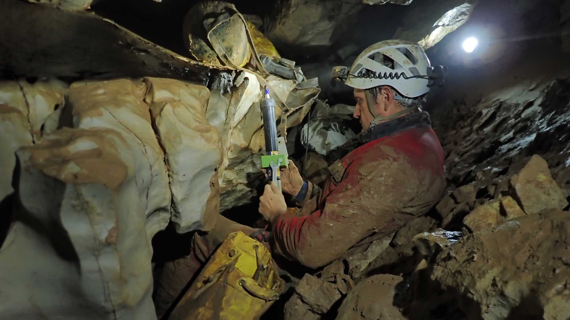
Gabrovšek and the rest of the team at the Karst Research Institute monitor the caves they’re able to...
READ MORE
Taxonomy
- Drinking Water Security
- Drinking Water Treatment
- Water Quality
- Groundwater
- Aquifer
- Aquifer Recharge
- Drinking Water Managment
- Drinking Water
- Groundwater Recharge
- Aquifer Recharge
- Groundwater Assessment
- Groundwater Modeling
- Groundwater Pollution
- Groundwater Prospecting
- Groundwater Mapping
- Surface-Groundwater Interaction
- Groundwater Salinisation
- Aquifer Treatment
- Groundwater Quality & Quantity
- Water
- Groundwater Resource
- Water
- Public Water System and Groundwater Issues
- Water
- Ministry of Drinking Water and Sanitation, Govt. of India
- Groundwater Surveys and Development
- Water
- Water
- Water quality
- Water
- Water
- Groundwater flux
- Boiling & Chilled Drinking Water Filtration Appliances
- Managed Aquifer Recharge
- Groundwater monitoring and assessments
- Groundwater Remediation
- water
- Groundwater Data Scientist
- Drinking Water Management