Data for the World- MIT's open access GIS Data
Published on by Water Network Research, Official research team of The Water Network in Academic
Geographic Information Systems (GIS) enable users to visualize and analyze spatial information in a dynamic, digital environment. It provides tools for integrating, querying, and analyzing a wide variety of data types, such as scientific and cultural data, satellite imagery, and aerial photography, as well as data collected by individuals.
MIT GIS Services
We can help you:
plan GIS projects
learn and use software
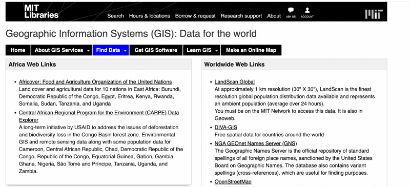
find GIS data
automate GIS workflows with python
teach GIS concepts to your students, colleagues or lab
Mission
Our goal is to support the MIT community's research and academic activities as they relate to GIS. This support not only includes the collection of literature, data, software, and hardware, but also training and assistance in the use of GIS. We are available to work with faculty to implement and assist in teaching GIS-based labs in individual subjects.
Users are responsible for their projects. MIT GIS Services does not do GIS projects for people and MIT does not offer a GIS certificate or degree program.
Learn more about our staff, service guidelines, and the GIS Lab.
Taxonomy
- GIS & Remote Sensing Technology
- GIS
- Data Management
- GIS Spatial Analysis
- GIS & Remote Sensing
- Data & Analysis
- application of GIS and RS
- Data Analysis