GIS Mapping Giant Esri Partners with Microsoft to Accelerate Conservation
Published on by Water Network Research, Official research team of The Water Network in Business
Microsoft has partnered up with Esri, a company that’s made its name on GIS (Geographic Information Systems) mapping, to create a “newly aligned grant process," hoping to make GIS technologies more accessible to the organizations that need them.
The process marries together Esri and Microsoft’s work in a way that makes both of them more effective.
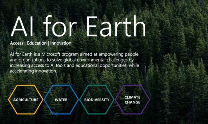
Esri’s involvement with Microsoft is part of the “AI for Earth” project, and should be helping conservationists make decisions faster and more accurately than they ever could before. Esri’s data paired with Microsoft’s technology with Azure has the potential to be a serious force for good in the attempt to go green.
“Spatial analytics is a crucial part of conservation, because it is an inherently geographic field,” said Jack Dangermond, Esri founder and president. “Understanding environmental data in the context of location is necessary when making decisions about protecting fragile ecosystems.
The ability to analyze the vast quantities of data present in our environment is critical, and this collaboration allows conservationists to do their job more accurately than ever before on a wider scale.”
The partnership is part of Microsoft’s strategy to utilize artificial intelligence in more humanitarian efforts. In the words of Lucas Joppa, Microsoft’s chief environmental scientist, “We believe that human ingenuity and AI can pair together to tackle some of our biggest societal challenges – including managing climate, water, agriculture, and biodiversity resources. We’re excited to work with Esri to deliver AI technology to researchers and organizations that will help them address these challenges.”
Advanced data solution
The aligned grant process will allow eligible organisations and individuals to receive Esri's premier geographic information system (GIS) software as well as access Microsoft's leading cloud and AI tools. These include Esri's ArcGIS and Microsoft's Data Science Virtual Machine and Cognitive Services offering, in addition to Azure credits.
These tools and this alliance have already demonstrated considerable promise for organisations focused on mapping – one example is Chesapeake Conservancy. It has done a great deal of work to protect and restore the local watershed, but the organisation needed more accurate data to do precision conservation – investing in the plantings that are most impactful, in the areas that most need them.
Esri's mapping technology, powered by Microsoft Azure, produced dynamic land cover products in minutes and allowed Chesapeake Conservancy to see exactly where planting would be most effective. This advanced solution was demonstrated at the Esri User Conference during the opening Plenary Session.
Microsoft joined Esri and Chesapeake Conservancy onstage and demonstrated how AI can be executed on a national scale quickly and accurately, allowing researchers and communities nationwide to benefit.
Media
Taxonomy
- Technology
- GIS & Remote Sensing Technology
- GIS
- Data Management
- Geospatial Information Systems
- GIS for network
- Funding Partnerships
- Development Cooperation
- Geo Spatial Technology
- GIS & Remote Sensing
- Data & Analysis