IDW-Plus - Hydrological Invention Making a Splash
Published on by Water Network Research, Official research team of The Water Network in Technology
A Brisbane university student has developed an award-winning mapping tool that could help preserve Australia’s most precious environmental resources, from the Great Barrier Reef to the Murray River.

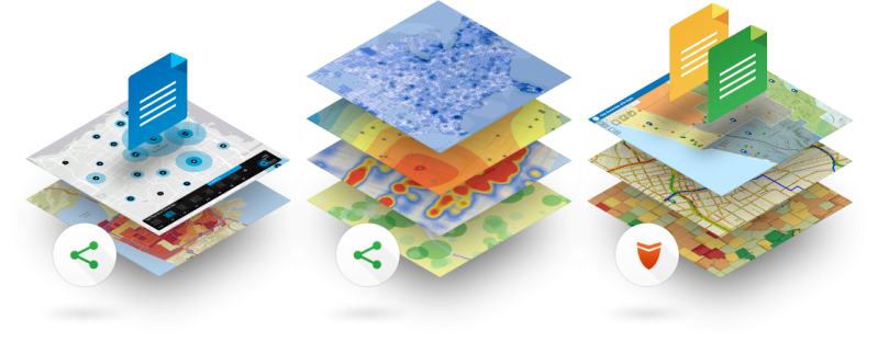
Image Source: ARCGIS
Nineteen-year-old Alan Pearse’s invention, IDW-Plus, ‘plugs into’ the mapping platform ArcGIS – software developed by spatial technology giant Esri that hydrologists from around the world use to map water movement.
Mr Pearse said this allowed them to measure with unprecedented accuracy how rainwater travels through areas such as towns and farmland to rivers and lakes, and what chemicals and nutrients are accumulated along the way.
“Our past methods assumed that each section of land in a catchment contributed equally to the body of water at the end, but this isn’t the case,” Mr Pearse said.
“Some land may have more water pass through, or be closer to a stream where more water is likely to collect and reach the end of the line. These areas, therefore, have a greater impact.
“IDW-Plus takes factors like these into account and gives us a far better understanding of what is ending up in our lakes and rivers, and eventually in our oceans.
“It also performs these calculations in a fraction of the time it took in the past – in hours compared to weeks.”
With fertiliser runoff the leading cause of the algal blooms that poison the mighty Murray and contribute the destruction of the Great Barrier Reef, IDW-Plus could impact how we manage the land surrounding Australia’s natural resources.
“The knowledge we can gain from using this tool will hopefully lead to better, more well-informed decisions about development, land use and where to focus our efforts on restoration and management,” Mr Pearse said.
Read full article: GIS user
Media
Taxonomy
- Water Resource Mapping
- GIS & Remote Sensing Technology
- GIS
- GIS for network
- GIS Spatial Analysis