Improving Water Resources Management with Satellite Data
Published on by Water Network Research, Official research team of The Water Network in Technology
An extensive review reveals that remote sensing is changing the way we manage water resources and suggests that the coming years will bring both exciting advancements and new challenges.
By Aaron Sidder, Earth & Space News
Source: Water Resources Research
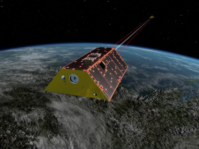
Artist's rendering of the twin spacecraft of the Gravity Recovery and Climate Experiment Follow-On (GRACE-FO) mission (Image credit: NASA/JPL-Caltech)
Sustainable water resource management is a central challenge for governments the world over. Extremes in the water cycle, namely, floods and droughts, strain even the wealthiest nations and devastate vulnerable populations. Furthermore, many of the most water vulnerable places on Earth are also the most hydrologically data poor.
To make up for a shortage of water data, a consequence of limited in situ monitoring networks, many scientists and water managers in low-income countries rely on remotely sensed data acquired from satellites. After decades of maturation, satellite-based sensors orbiting Earth can now measure precipitation, evaporation, surface water levels, soil moisture, snow depth, groundwater, and more.
The satellite and sensor boom of the past few decades has resulted in unprecedented data streams, with more missions slated to launch in the coming years. To synthesize the current state of satellite remote sensing for water resources management, Sheffield et al. conducted an extensive review of remote sensing as it relates to water, exploring the available data, applications and models, information gaps, challenges, and current and future satellite missions. The authors focused on Latin America and the Caribbean to demonstrate how countries can bolster their hydrologic decision-making through remote sensing.
The good news, based on the authors’ review, is that satellite information can now describe almost every facet of the water cycle in near real time, and scientists and managers are putting the data to good use. National initiatives in Peru and Chile, for example, combine rain gauge data with satellite rainfall data. In both cases, the resulting products are used to monitor drought and flood risk. Similar efforts are underway across Latin America and have proven useful in filling in data gaps where on-site monitoring is lacking.
Upcoming remote sensing missions promise to further progress water management. For instance, NASA’s proposed Hyperspectral Infrared Imager (HyspIRI) could improve analyses of snow and vegetation conditions. Meanwhile, China’s Water Cycle Observation Mission (WCOM), set to launch in 2020, aims to advance measurements of soil moisture, freeze-thaw cycles, and precipitation. Several other missions slated for launch in the next few years will contribute even more water-related data.
The glut of current and planned data does usher in new challenges, however. Many sensors capture data at different time intervals and spatial scales, which makes it difficult to compare information across platforms. Furthermore, the sheer amount of acquired information—the Sentinel-1 satellite delivers nearly 1 terabyte of raw data per day—complicates storage, management, and analysis.
A new generation of satellite sensors will also require novel solutions to help water managers adapt to new data formats and procedures. The authors note that investment in training programs will be essential to furthering the use of remote sensing in water management.
Remote sensing data already play a significant role in water resources management, but current and future advances promise to transform the field and support sustainable development even more in years to come. The authors’ review serves as both a how-to guide for practitioners and a white paper for international development organizations.
Read the full research paper:
J. Sheffield, E. F. Wood, M. Pan, H. Beck, G. Coccia, A. Serrat‐Capdevila, K. Verbist. "Satellite Remote Sensing for Water Resources Management: Potential for Supporting Sustainable Development in Data‐Poor Regions", Water Resources Research, October 2018, DOI: 10.1029/2017WR022437
Article citation:
Sidder, A. (2019), Improving water resources management with satellite data, Eos, 100, DOI: 10.1029/2019EO119821. Published on 08 April 2019.
Text © 2019. The authors. Article published under the CC BY-NC-ND 3.0 license.
Media
Taxonomy
- GIS
- Data Management
- Sustainable Water Resource Management
- Natural Resource Management
- Transboundary Water Resources Management
- Water Resource Management
- GIS & Remote Sensing
- Data & Analysis
- GIS Manager
- Integrated Water Resources Management (IWRM)