Satellites Could Hold Key to Stopping Water Theft in Murray-Darling Basin
Published on by Water Network Research, Official research team of The Water Network in Technology
Free satellite images beamed from the European Space Agency have been accessed by the Murray-Darling Basin Authority (MDBA) in a year-long trial to ensure water wasn't stolen during environmental releases into the Northern Basin.

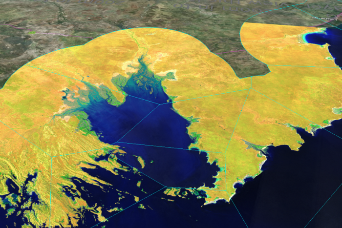
PHOTO: What can be seen from space: high and low tide composite images of Derby, WA. (Supplied: Geoscience Australia - Via ABC News)
The images were provided by Geoscience Australia to track water flows in the Barwon and Darling River systems during the major water release into northern rivers between April and June.
The MDBA's general manager officer compliance, Brent Williams, said a pumping embargo was ordered during the flows to determine exactly where the water was going.
Read full article: ABC News
Media
Taxonomy
- GIS & Remote Sensing Technology
- GIS
- Integrated Water Management
- GIS for network
- Water Management
- Water Resource Management
- Water Resources Management
- Remote Sensing
- GIS Spatial Analysis
- Remote Monitoring & Control
- GIS & Remote Sensing
- application of GIS and RS
- GIS Manager
- Integrated Water Resources Management (IWRM)