Telemetry Data Aids Aquifer Recharge Project Managemen
Published on by Marcus Miller, Digital Marketing Manager at In-Situ in Case Studies
Telemetry Data Aids Aquifer Recharge Project Management
Overview
The Idaho Department of Water Resources (IDWR) uses telemetry to view near-real-time water level data and track the response of aquifer recharge basins to changes in flow rates. Hourly groundwater level data provides further insight into barometric efficiency of the aquifer.
Challenge
Like many aquifers across the U.S., Idaho’s Eastern Snake Plain Aquifer (ESPA) has been dropping since the 1950s. The ESPA covers approximately 10,800 square miles in the southeastern portion of Idaho, and contributes a quarter to a third of all goods and services produced in the state.
Some of the businesses that depend on water from ESPA are established in the Snake River Canyon, home to long-standing aquaculture operations and power production plants whose success depends on spring flows. Spring flows have a direct relationship to the aquifer; when aquifer levels drop, the decrease in spring flows affects operations.
In partnership with various stakeholders, the State has initiated aquifer management practices (such as aquifer recharge) to ensure ESPA’s long-term presence as a dependable water source for the region.
Milner Dam is a key part of IDWR’s aquifer recharge program. The dam marks the start of a canal from Milner Reservoir that routes past numerous possible candidates for land surface leakage basins. When the canal was constructed, a metal post was placed every mile to mark the distance from Milner Reservoir, giving the basins their names: Mile Post 29 and Mile Post 31. These basins are located on the slope of the Wilson Butte shield volcano–the perfect opportunity for aquifer recharge.
“Fairly recent basalt flows and closed basins make this a prime location to encourage water to leak into the ground and recharge the aquifer,” says Neal Farmer, Recharge Program Coordinator for IDWR.
The basalt lava flows from Wilson Butte create porous fractures on the surface and subsurface. These fractures provide conduits for water to seep from the basins, traveling through the thin soil cover and through 250 to 300 feet of basalt to reach the water table.
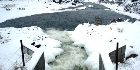
The canal is used for irrigation during the growing season, but in the winter, excess water that would otherwise leave the area is available to flow from Milner Reservoir into MP 29 and MP 31 for aquifer recharge. During these periods, the canal can typically deliver about 375 cubic feet per second (cfs) to one of the basins. During high-flow spring runoff events, the two basins receive the total conveyance capacity of the canal at 1,200 to 1,400 cfs.
Farmer describes MP 31 as the first “large scale, consistently operational” aquifer recharge site in the state of Idaho. IDWR has collected data at the site since 2012, first with In-Situ Level TROLL 100s and 400s. These loggers would record data offline for the six-month winter period, typically on 12-hour intervals. Staff would travel out to dozens of sites to download the data at the end of the recharge season. But aquifer recharge during the winter can present numerous challenges and conditions can change quickly.
Solution
Farmer wanted to find a more efficient method to collect data and monitor the recharge site. The basins are between 30 and 50 acres, and the 12 wells IDWR uses to monitor recharge are distributed out to a distance of 10 miles from the basins. Loggers in these wells supplement devices monitoring pool levels in each basin, flow rates in the canal and stilling wells. Traveling to each instrument to download data was time consuming and the process left a six-month gap between data collection and analysis. If an instrument failed, data for the whole season could be lost.
In 2015, IDWR installed the first in-well telemetry device for groundwater monitoring in the state of Idaho at Mile Post 31. As Level TROLLs required replacement, IDWR began installing Level TROLL 500s attached to vented cables and VuLink telemetry. With the ability to view data in near real time, IDWR programs the loggers to record hourly data.
Farmer reports more frequent measurements have yielded a greater understanding of how groundwater levels respond to basin water levels, and how basin water levels respond to changing flow rates into the recharge site.
With higher resolution data it is possible to view near-real-time groundwater responses to low barometric pressure weather events moving across the plain. “With hourly data and telemetry, you can sit in your office and watch the water level responses to that barometric pressure change as a storm rolls through,” says Farmer. “With 12-hour data, that storm front can pass clear across the plain and you’d never see it–you’d see stable levels before and after, but the effect of the storm wouldn’t be captured.” Hourly barometric data provides an opportunity to calculate aquifer characteristics that didn’t exist before.

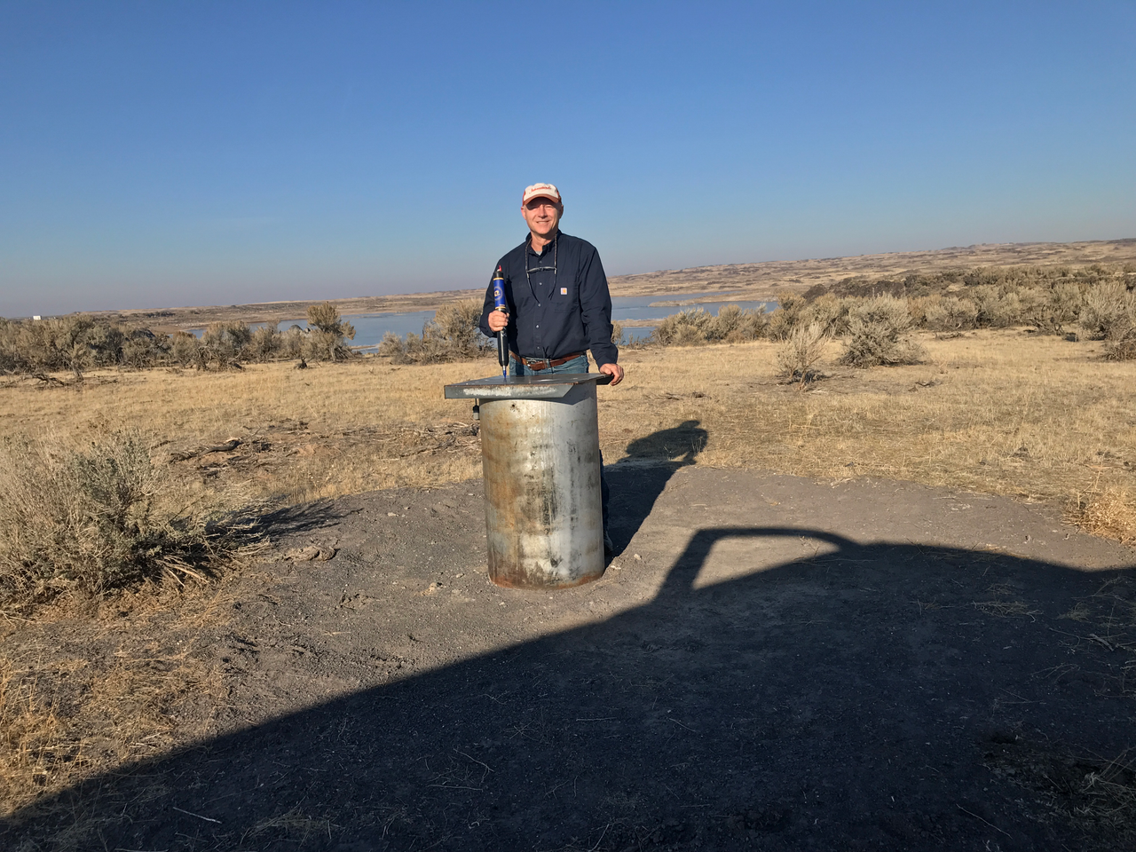
Farmer in 2015, installing the first in-well telemetry device for groundwater monitoring in the state of Idaho at MP 31.
Results
Telemetry has proved essential for...
Taxonomy
- Water Quality
- Groundwater
- Hydrodynamics & Water Quality
- Water Monitoring
- Aquifer
- Aquifer Recharge
- Water Monitoring
- Water Systems Monitoring
- Water Quality Management
- Water Quality Training
- Groundwater Recharge
- Aquifer Recharge
- Groundwater Assessment
- Groundwater Modeling
- Groundwater Pollution
- Groundwater Prospecting
- Groundwater Mapping
- Surface-Groundwater Interaction
- Groundwater Salinisation
- Aquifer Treatment
- Groundwater Quality & Quantity
- Water Quality Monitoring
- Groundwater Resource
- Water Quality Monitoring
- Public Water System and Groundwater Issues
- Groundwater Surveys and Development
- Water Quality Modelling
- Water quality
- Groundwater flux
- Research water quality
- Water Quality Research
- Managed Aquifer Recharge
- Groundwater monitoring and assessments
- Surface water hydrology
- Surface Water Hydrology
- Groundwater Remediation
- Groundwater Data Scientist
- Water quality technician
- Water Quality Monitoring Sensor
- Water Quality Modelling
- Water Quality
