Using Aerial Imagery to Manage Urban Water Infrastructure
Published on by Water Network Research, Official research team of The Water Network in Case Studies
Durham, N.C., Public Works Department Uses Nearmap Aerial Imagery to Manage Massive City Growth and Revitalization
Nearmap, a location content provider, has partnered with the City of Durham, North Carolina, Public Works Department for projects ranging from road maintenance and pothole patching to water sampling and degradation. Using real-time imagery from Nearmap while out in the field, the Public Works Department streamlines data collection, reduces time spent in the field and saves money.
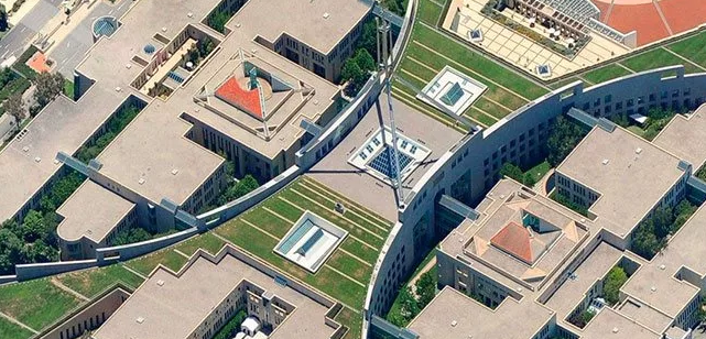
Representative Image, Source: Nearmap
The Public Works Department is tasked with managing all infrastructure data for the city, including mapping the impervious area for the city’s $16 million a year Stormwater Utility Fee fund. “That is half a billion square feet of impervious area that we manage through digitization and review daily,” said Edward Cherry, GIS administrator for the City of Durham. “That fund was one of the main drivers in choosing Nearmap.”
After using several satellite imagery systems with low resolution and infrequent captures, Cherry and his staff of 14 GIS professionals determined the city needed far superior quality in their mapping imagery to accommodate the city’s growth explosion. Captured every six months at a 2.8-inch GSD, Nearmap now supplies Durham with crystal-clear images that are up-to-date while also allowing accessibility through web-based cloud servers.
With Nearmap, the Durham Public Works Department has achieved:
- Better monitoring of pavement conditions—With Nearmap imagery, surveyors are better able to identify specific locations. “With over four to five different image captures at high-resolution, surveyors can see sections that have been paved most recently,” said Cherry. “We don’t need to send crews out to an area where a stretch has already been paved.”
- Time savings and documentation of road repairs —The City of Durham has been able to eliminate several steps in the process of patching pot holes and addressing road repairs. Using a GIS application integrated with Nearmap imagery, the team can view, edit and draw directly on specific areas of a PhotoMap via phone or tablet instead of having to go onsite for planning.
- Mor e detailed maps of city riparian zones —With imagery captured during both leaf-off and leaf-on seasons—the presence or lack of the foliage depending on the time of year—riparian buffers or stream buffers around streams can now be monitored for growth and expansion.
- Accurat e and detailed customer billing —Serving some 78,000 customers throughout Durham, the public works office has found that the high-resolution imagery has improved its billing processes. By providing a web service map, stormwater billing customers can visualize their property with the impervious area mapped out and tied to their billing records. “We’re able to physically show them what their annual billing costs are for their property,” Cherry said.
“Having access to imagery back to 2014, we’re able to go back in time during the thrust of development and monitor it forward,” said Cherry. “With Nearmap, we’ve been able to update development processes and policies to support the revitalization of the downtown district as well as rapid city growth.”
Source: Business Wire
Find out more: Nearmap
Media
Taxonomy
- Technology
- GIS & Remote Sensing Technology
- GIS
- Infrastructure
- Utility Management
- Utility Pipe Network
- Remote Sensing
- GIS Spatial Analysis
- Remote Monitoring & Control
- GIS & Remote Sensing
- green infrastructure