The Role of GIS in Solving Global Health Problems
Published on by Siobhan Herne, Marketing and Communications at Takor Group in Non Profit
When thinking about how technology has influenced the medical industry, what springs to mind? Laboratories? Brain scanners? Advanced surgery equipment?
Whilst these developments have benefited patients in a direct sense, other technological innovations occurring behind the scenes are thriving. One of the most exciting yet overlooked technologies emerging today is the power of geospatial or location-based technology in the medical industry.
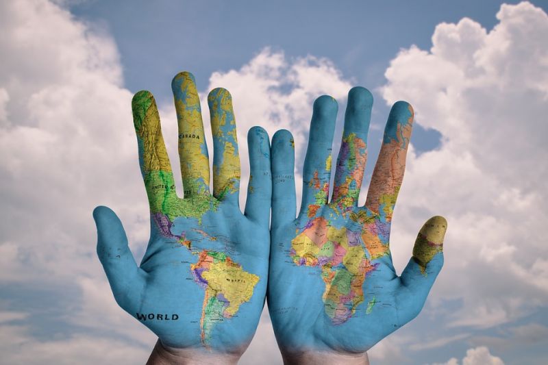
Source: Pixabay, https://pixabay.com/en/hands-world-map-global-earth-600497/
Geographic Information Systems (GIS) are an evolving technology that are saving lives indirectly. A GIS is a multifaceted form of mapping that enables users to capture, visualise, monitor and manipulate geographic data. Being armed with this type of data empowers health workers to see patient demographics in a way they’ve never seen before.
What if we could determine where the source of a disease was? Discover why an illness was occurring and predict where it would spread to next? Or improve our services to people in need?
These are the kinds of questions that are being answered through the integration of GIS into the medical realm, with their results responding to health problems all over the world.
Identifying Trends
To understand ‘why’ a disease or illness occurs, information or data is key. In both quantity and quality, the way we interpret data can make all the difference. GIS is used to visualise data and identify trends or behaviours associated with location.
A recent example of how GIS was used to identify trends in health was the United States’ National Community Mapping Institute. The organisation created a map identifying ‘Years of Potential Life Lost before Age 75’.
The map allowed people to physically see the clusters or areas that were high in premature mortality. The map suggested premature mortality rates were much higher in the southern half of the US, as opposed to the North. From there, specialists could make this a focus of their research and question why this is occurring; what other correlations do those areas have?
With illnesses such as cancer, diabetes and heart disease on the rise, GIS provides an invaluable source of research for health care professionals. Determining locations where illnesses are prevalent and implementing prevention strategies in areas that aren’t, are just some of the exceptional ways GIS is helping to identify and solve global health trends.
Tracking the Spread of Infectious Disease
Infectious disease is another ballpark. The spread of infectious diseases such as Measles or Ebola occurs at a much faster rate. This means it is essential for health workers and governments to have an immediate awareness and understanding of the infected persons’ location, how fast the infectious disease is spreading and where it will most likely hit next.
 This type of geographic data has become increasingly accessible due to the recent development in GIS technologies. For example, our mobile mapping and data collection tool Mappt™ was recently used by a global health organisation during the Ebola outbreak in West Africa in 2014.
The mobile application tool allowed Ebola medical field workers to gather data in an efficient manner. The app worked on hand held tablets and smartphones, making the device light and compact, plus Mappt works offline so it could function in remote areas without internet access. Mappt enabled field workers to ascertain valuable geographical information by using features such as:
• Offline GPS Tracking – track the ground field workers covered
• Points, Polylines and Polygons - flag findings, highlight areas and store attribute information
• Geotagged Photos - take a photograph using a device out in the field and geotagging it to a specific location
• Drop Down Forms - log annotations and descriptive information in simple drop down forms.
• Gridding - easily visualise and measure distances
• Geofencing – mark out inclusion or exclusion zones to keep team members out of hazardous zones. Breaching a fence will alert the user with a visual and audial alarm
• Importing and Exporting Data – fully compatible with WMS, WFS & WMTS and all major online and cloud based tools and imagery
Mappt assisted in the deadliest outbreak of Ebola in history. These kinds of features empowered the medical teams with the data to create visualisations and run predictive model algorithms. In other words, health workers could create a picture to identify, predict and prevent the spread of such a horrific outbreak and create an informed health community.
Wearable Technology
Health related statistics have a major influence in identifying the causes of global health problems, but a high quantity of quality data is paramount to accurate and informative studies. Acquiring substantial amounts of personalised data has been achievable in recent years through the introduction of wearable devices. Personal healthcare technologies such as fitness bracelets that track a person’s heart rate, sleeping patterns and level of activity, are often used to determine how these levels are varied in different geographic areas.
When combined with GIS, wearable devices embody a powerful tool to uncover long-term geographic patterns and trends in diverse demographics. Adding geographic data to healthcare statistics has already begun to revolutionize the healthcare systems all over the world.
The Power of Location
Geospatial technologies such as GIS and mapping collection tools have transformed countless industries and will continue to address health issues like infectious disease control or unhealthy habits of people in specific areas. As technologies advance and medical industries adopt and integrate these innovations, unhealthy lifestyles and diseases will feasibly decrease.
You can try Mappt for free! www.mappt.com.au
Sources
http://hitconsultant.net/2015/10/29/5-benefits-of-geographic-information-systems-in-healthcare/
http://www.giscloud.com/blog/mapping-the-disease-using-gis-for-improving-malaria-interventions-in-nigeria/#A56hdBiOEa3TkdMJ.99
http://communitymappingforhealthequity.org/past-maps-of-the-day/years-of-potential-life-lost-before-age-75-2012-2014/
Media
Taxonomy
- GIS & Remote Sensing Technology
- GIS
- GIS for network
- GIS Spatial Analysis
- Health Care
- Public Health
- GIS & Remote Sensing