PlanBlue
About
We combine hyperspectral imaging, precise underwater navigation and AI-based automated data processing to ground-truth aerial and satellite imagery for blue carbon projects.
How it started
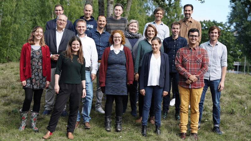
Planblue was founded in 2017 by two former marine scientists and two engineers to enable high-quality seafloor mapping, inspired by satellite technology. Based in Bremen, Germany, the company now has over 20 employees located all over Europe. Funded partially through the ESA BIC program, an EIC grant, and Climate-KIC, planblue has completed campaigns around the globe, all with the express goal to highlight the ecologic and economic importance of the seafloor.
At planblue, we strive to combine scientific rigor and ground-breaking technological advances to revolutionize seafloor monitoring for the 21st century. Currently, as a first step, we are focusing on developing a methodology to accurately estimate the carbon stock of seagrass meadows, in order to introduce much needed transparency into the emerging blue carbon market.

Information
- Website: https://www.planblue.com/
- Location: Bremen, Germany
Taxonomy
- Water Resource Mapping
- Groundwater Mapping