Consultancy
Published on by Aryanggi Iwan for SUPRA International Indonesia
Consultancy
SUPRA has a long and successful record of working with consultant, planners, engineers, developers and expert working in multidiscipline field
Geological and Hydrogeological Studies

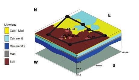
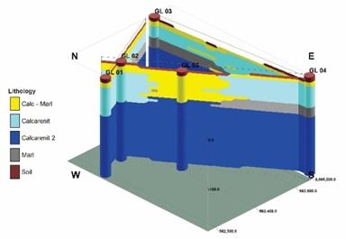
SUPRA provides consultancy services for geological and hydrogeological studies, groundwater availability studies and management, water resources management, aquifer mapping and modeling, well-field designs, groundwater monitoring, aquifer studies, borehole condition assessment, groundwater recharge, groundwater quality assessment, determination of groundwater abstraction patterns and borehole density etc.
The search for groundwater begins with a review of existing published literature, research, and well logs, which are gathered from various sources. Topographic, Geological, and Hydrogeological maps are studied and compared with existing information to select a specific drilling consultancy, management, and planning
SUPRA uses integrated step by step approach to provide its clients the important service of assesing groundwater depth, yields, and suitability prior to costly drilling.
Geophysical Study

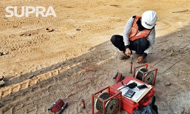
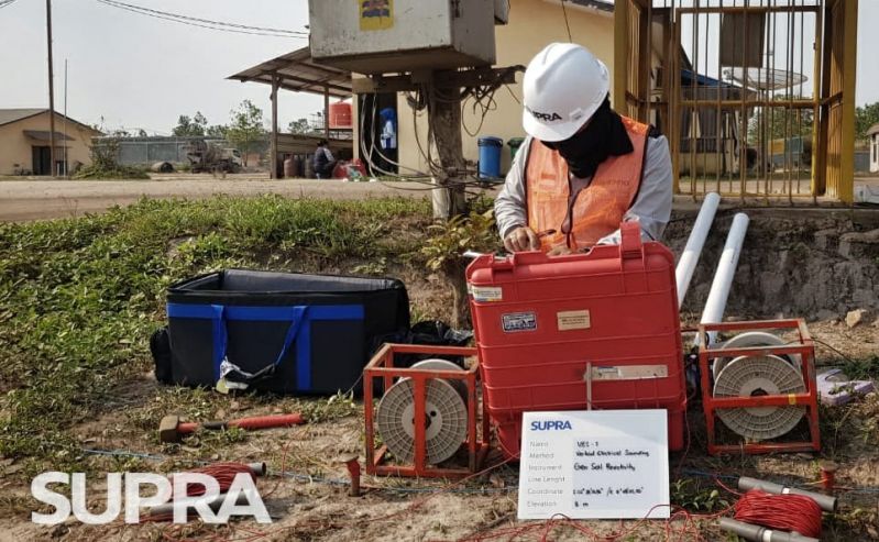
SUPRA conducts comprehensive geophysical studies and survey. Methods employed are Horizontal Electrical proofing –HEP (Wenner Configuration) and Vertical electrical Soundings-VES (Schlumberger Configuration).
It consist of determination of aquifer characteristics and types, aquifer size/location and depth, groundwater quality and hydrochemistry, abstraction patterns and aquifer depletion, groundwater recharge, saline water intrusion, aquifer contamination etc.
.jpeg)
ERS : Through Electrical resistivity we can measure the electrical properties of the subsurface, mapping the subsurface for aquifer prospects.
IP : Induced polarization is a geophysical imaging technique used to identify the electrical chargeability of subsurface materials. Induced Polarization method is ideal for Mineral Exploration purposes especially ore.

VES : Vertical electrical sounding (VES) is a 1D resistivity method that provides deep information of the subsurface. VES is ideal for detection of subsurface anomalies and conditions such as caving, faulting, stratigraphic structures,
GPR: Ground-penetrating radar (GPR) is a tool that uses radar pulses to image the subsurface. GPR is ideal for shallow depths ( 1m-30m ) and small covered areas for detection of subsurface anomalies and conditions such as caving, faulting, stratigraphic structures, etc. The applications of GPR make it ideal for Geo- Technical sectors.
Information
- Location: Indonesia
Taxonomy
- Hydrogeophysics
- Geo-hydrology
- Environmental Consulting
- Geophysical Investigations
- Environmental Engineers & Consultants