Are you ready to test your knowledge and deepen your expertise in GIS and Remote Sensing? Our extensive collection of multiple-choice questions ...
Published by Mrinmoy Majumder, Associate Professor at National Institute of Technology Agartala
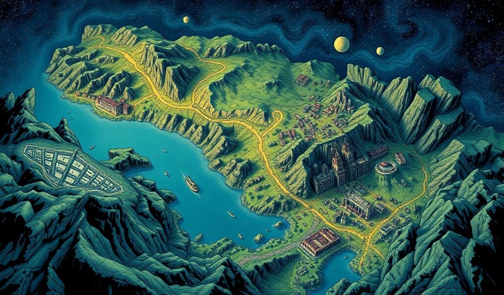
Are you ready to test your knowledge and deepen your expertise in GIS and Remote Sensing? Our extensive collection of multiple-choice questions (MCQs) covers essential concepts, practical applications, and cutting-edge advancements in these transformative technologies. Whether you're a student, researcher, or industry professional, these MCQs provide an engaging way to reinforce learning and assess your understanding of spatial analysis, earth observation, hydrological modeling, and environmental monitoring. Designed to challenge and inspire, these questions will help sharpen your skills and keep you updated on the latest trends in GIS and Remote Sensing. Start exploring now and take your geospatial knowledge to the next level!
Click here to learn more : https://open.substack.com/pub/veryshorttermcourse/p/sixty-mcq-questions-on-gis-and-remote?r=c8bxy&utm_campaign=post&utm_medium=web&showWelcomeOnShare=true
Tags
- GIS & Remote Sensing Technology
- GIS
- Geospatial Information Systems
- GIS for network
- Geographical Information Systems
- Geographical Information System
- GIS Spatial Analysis
- Geographic Information Systems
- GIS & Remote Sensing
- Geographical Information System (GIS) & Remote Sensing
- application of GIS and RS
- GIS Manager
- Geographic Information Systems
- 3D GIS
- GIS Tutorial